Reshaping the Coast: Louisiana Grapples with the Future of River Diversions as Land-Building Projects Face Political and Scientific Crosscurrents

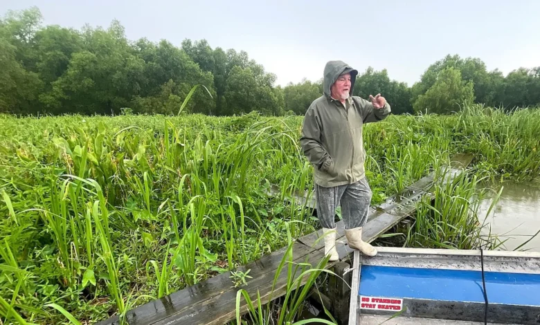
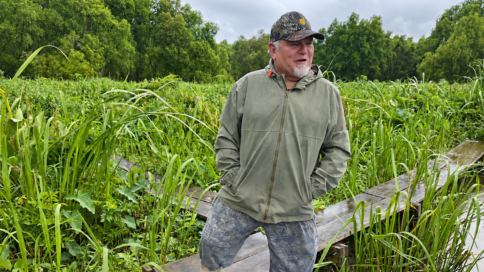
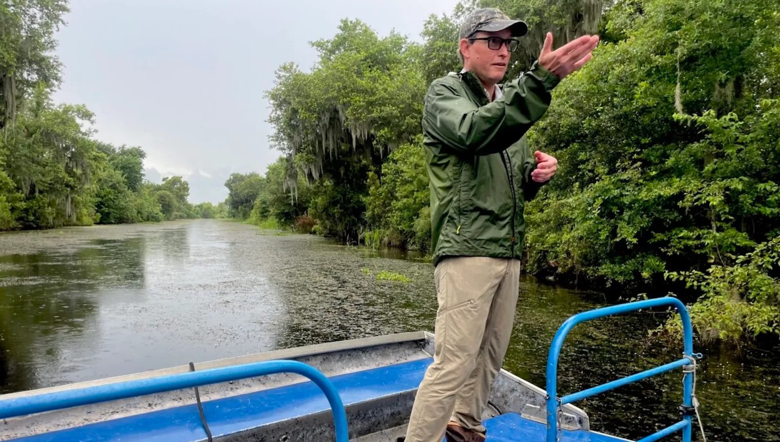
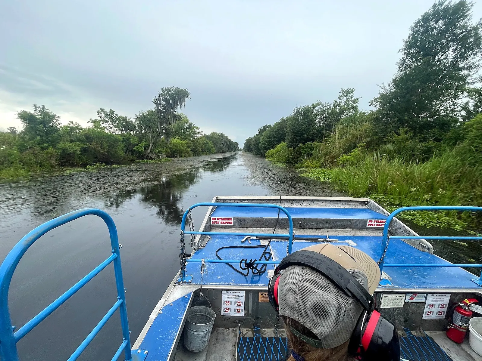
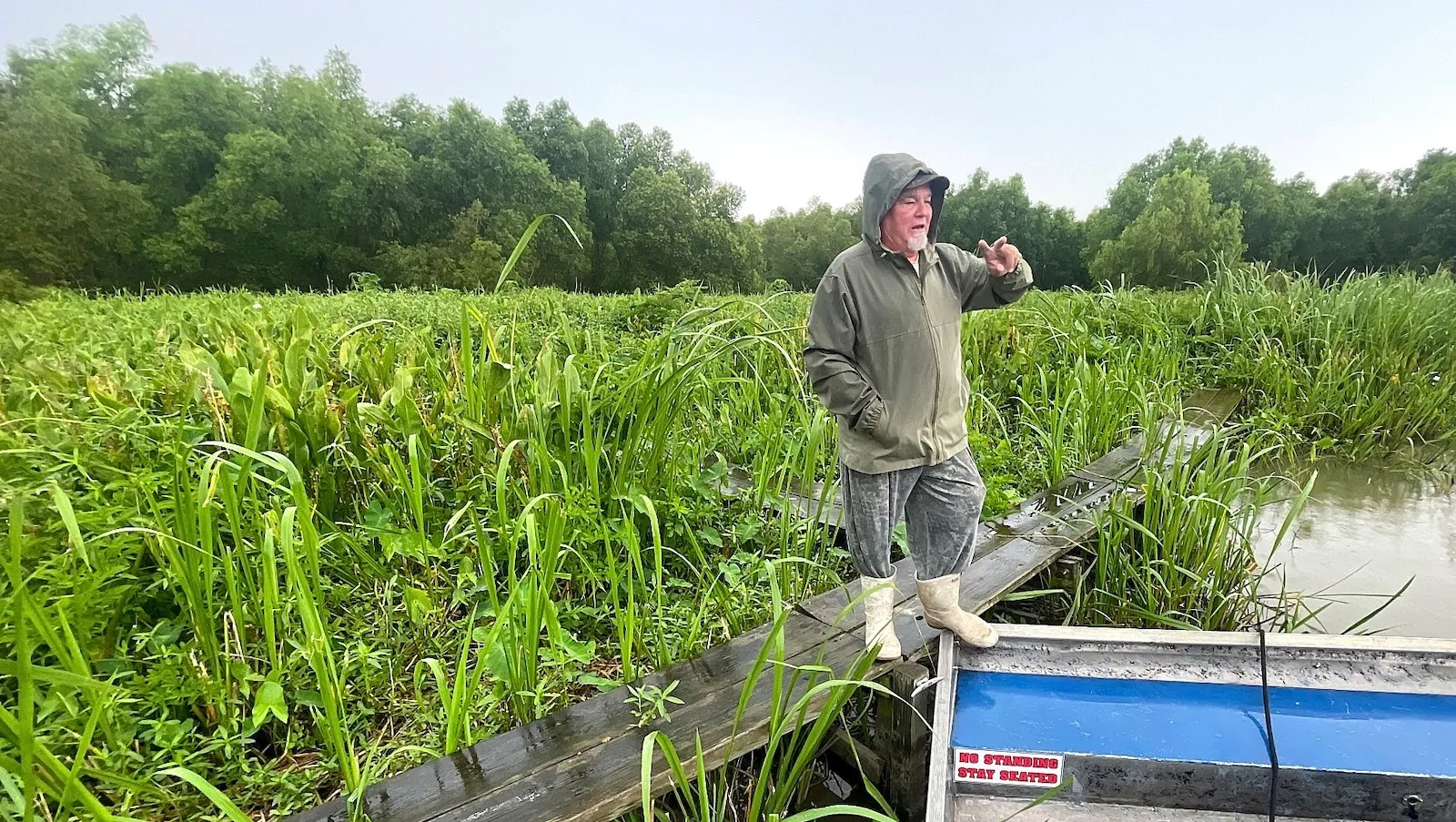
Across the widening lakes and bayous of southeastern Louisiana, where the encroaching salt water of the Gulf of Mexico has historically dissolved fragile marshes and swamps, a quiet ecological reversal is taking place in one tucked-away corner of the Barataria Basin. Here, semi-retired tour guide Arthur Matherne must ease off the throttle of his airboat, navigating tightening channels where grasses have overtaken the shallows and oak branches spread overhead. Where three feet of water once allowed him to barrel freely across the landscape, measuring sticks now find barely three inches.
This localized accumulation of land stands in stark contrast to the broader crisis facing the state’s coastal zone, which continues to recede at a rate of approximately 11 square miles per year due to severe erosion, subsidence, and climate change. The phenomenon transforming Matherne’s familiar waterways is the Davis Pond Freshwater Diversion, a project constructed by the U.S. Army Corps of Engineers near Luling in St. Charles Parish and operational since 2002. Initially built to combat encroaching saltwater, the facility inadvertently performed a far more profound ecological function: it funneled Mississippi River water laden with suspended sediment directly into the basin, raising the underwater floor and successfully generating new, thriving wetlands.
Despite the proven land-building capabilities demonstrated at Davis Pond, Louisiana’s coastal restoration strategy has hit a turbulent political and scientific crossroads. Even as field scientists point to growing forests, thriving alligator populations, and rebounding aquatic life south of Davis Pond, the state has abruptly abandoned its most ambitious, multi-billion-dollar effort to scale up that very approach. The ongoing debate over river diversions highlights the deep tensions between large-scale engineering interventions, commercial fishing interests, shifting political administrations, and a polarized scientific community over how best to save America’s disappearing delta.
A History of Levees and the Re-Engineering of the Delta
To understand the modern debate over river diversions, scientists emphasize the need to look back at the natural history of the Mississippi River. For millennia, the river built the entire coastal footprint of Louisiana through the natural delta cycle, periodically overflowing its banks during spring floods and depositing rich layers of silt and sediment across adjacent floodplains.
However, following the catastrophic Great Mississippi Flood of 1927, the federal government constructed an extensive system of massive earthen levees and floodwalls to lock the river into a fixed channel, protecting shipping lanes and riverfront communities. While these structures successfully prevented devastating inland floods, they starved the surrounding deltaic wetlands of the fresh water and mineral sediment they required to offset natural compaction, sea-level rise, and land subsidence. Deprived of its muddy lifeblood, Louisiana’s coast began to drown.
By the late 20th century, state and federal agencies recognized that saving the coast required reconnecting the Mississippi River to its starving wetlands in a controlled manner. River diversions—engineered gated structures built into the river levees—were designed to mimic natural crevasses, allowing targeted volumes of water and sediment to flow back into the sinking basins.
The 2002 completion of the Davis Pond Freshwater Diversion served as a major proving ground for this concept. Yet, as state planners looked to dramatically expand the strategy, political and economic realities began to clash with long-term ecological goals.
The Rise and Fall of Mega-Diversions
For years, the crown jewel of Louisiana’s master coastal protection plan was the Mid-Barataria Sediment Diversion. Heralded by state officials as the largest and boldest environmental restoration project in U.S. history, the $3 billion initiative was designed to capture massive quantities of Mississippi River water and sediment and channel them directly into the Barataria Basin to rebuild thousands of acres of vanishing marsh.
The project broke ground in 2023, representing the culmination of decades of planning and engineering studies. However, its momentum ground to a halt following the election of Governor Jeff Landry, a Republican who emerged as one of the diversion’s most vocal and prominent critics. Taking office in 2024, Landry argued that the massive influx of fresh water and sediment would devastate the region’s commercial fishing economy by altering salinity levels, killing off sensitive oyster beds, and driving commercial shrimp populations farther offshore into the Gulf.
Expressing deep concern for local livelihoods and cultural heritage, Landry told state lawmakers that the project would break local culture and destroy a shrimping industry already grappling with economic headwinds. Fulfilling campaign-trail skepticism, his administration officially terminated the Mid-Barataria project in July 2025. Shortly thereafter, the state also canceled its companion project—the $1.8 billion Mid-Breton Sediment Diversion, which had been planned to revitalize dying wetlands southeast of New Orleans.
The Pivot to Smaller-Scale Restoration
Despite the dramatic termination of the state’s flagship mega-diversions, Louisiana has not entirely abandoned the use of river water for coastal restoration. Budget documents from the Louisiana Coastal Protection and Restoration Authority (CPRA) indicate that the state is quietly pivoting toward smaller, more targeted diversion projects over the next several years.
A review of CPRA’s financial plans reveals that the state intends to allocate at least $340 million toward five smaller-scale diversion and wetland restoration initiatives. This marks a notable financial increase compared to historical figures; since 2007, the CPRA has completed only three diversion projects totaling a modest $47 million.
The lion’s share of this renewed investment is currently directed toward the restoration of the Maurepas Swamp, a vast wetland comparable in size to Chicago located along the western edge of Lake Pontchartrain, approximately 25 miles from New Orleans. The $334 million project, which broke ground in 2024, involves the construction of flow-control gates into the Mississippi River levee near Garyville in St. John the Baptist Parish. The system will channel up to 2,000 cubic feet per second of river water into the swamp, flushing out stagnant, hyper-saline water and rejuvenating approximately 45,000 acres of stressed cypress and tupelo forest. The project is slated for completion in late 2027.
Furthermore, following the cancellation of the larger Mid-Barataria project, CPRA resurrected an earlier, more modest proposal: the Medium Diversion at Myrtle Grove. Originally conceptualized over 25 years ago, the Myrtle Grove project would divert up to 15,000 cubic feet of river water per second into the basin—roughly one-third of the operating capacity originally planned for Mid-Barataria. To accelerate land-building without relying solely on gravity-fed river flow, the state plans to incorporate mechanical dredging, pumping river sediment directly into the marshes. While the full budget and timeline remain fluid, budget filings point to early expenditures between 2027 and 2029.
Scientific Debate: The Nutrient Dilemma and Land-Building Efficacy
Even as engineers and local residents celebrate the visible expansions of land and wildlife around existing structures like Davis Pond—where alligators, wading birds, and aquatic life have flourished—the scientific community remains sharply divided over the long-term efficacy and structural integrity of land built via river diversions.
Proponents of diversions, such as CPRA coastal scientists and academic researchers like John White and John Day of Louisiana State University, point to empirical monitoring data showing net land gains and healthy biological indicators. A 2023 study co-authored by White and Day concluded that the first two decades of Davis Pond’s operations resulted in a net gain of 1.3 square miles of land, countering earlier criticisms and asserting that satellite methodologies used by dissenting researchers had previously misidentified small open-water patches.
Conversely, prominent dissenters like LSU coastal sciences professor Eugene Turner have argued that diversions can inadvertently exacerbate wetland loss if improperly managed. Turner’s research suggests that the Mississippi River’s modern water chemistry differs radically from historical baselines, carrying high concentrations of agricultural nitrogen and phosphorus from upstream fertilizer and municipal wastewater.
According to Turner, these excess nutrients trigger rapid, unsustainable above-ground plant growth at the expense of deep, resilient root systems. He likens the resulting vegetation to a "green toupee"—marshlands that appear lush and green on the surface but remain structurally weak and highly vulnerable to being stripped away by strong storm surges, winds, or tidal currents. Turner advocates for operating diversions at lower, more controlled flow rates and prioritizing sites with sandy, stable substrates rather than soft, organic muck.
Looking Forward
As Louisiana navigates the political fallout of canceled mega-projects and the practical realities of coastal land loss, the path forward relies on adaptation and incremental progress. Local stakeholders, parish governments in regions like St. Charles, and state planners are increasingly looking at ways to optimize existing infrastructure, such as conducting joint studies with the Army Corps to fine-tune Davis Pond’s operating capacity.
Ultimately, coastal scientists across the ideological spectrum agree that the Mississippi River remains the state’s most powerful tool in the fight against sea-level rise. Whether through multi-billion-dollar restoration campaigns or targeted, localized sediment injections, Louisiana’s long-term survival hinges on its ability to harness the natural delta cycle before the Gulf claims what remains of the coast.