When the Glacial Torrent Returns: How Juneau Learned to Live on the Edge of a Melting World

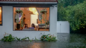
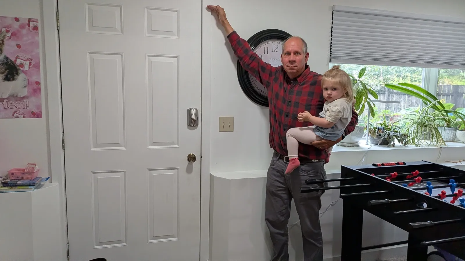
Juneau, Alaska — Two years ago, John Lowrey was jolted from his sleep by a sound he initially could not identify: the deep, mechanical roar of water aggressively surging onto his property. A 65-year-old retiree and father of five, Lowrey rushed toward his basement just in time to witness a three-foot wall of glacial meltwater slam directly into his exterior door, instantly tearing it completely from its hinges. The frigid torrent crashed through his bay windows, ruthlessly drowning the family piano, historical documents, appliances, insulation, and priceless heirloom cedar chests. His 29-year-old daughter frantically piled family photo albums onto a bed until the mattress itself began to float away. Total repairs and structural remediation for the home cost $150,000.
“We lost everything,” Lowrey recalled, standing beneath the mounted hide of a brown bear shot by his grandfather decades ago.
At the time, Lowrey operated under the assumption that this devastating inundation was an anomalous, once-in-a-century weather event. What he did not know then was that the catastrophe would reliably return the following summer. And then the summer after that.
A Warming Arctic and the Rise of Suicide Basin
Alaska is currently warming at a staggering rate of two to three times the global average, triggering profound environmental disruptions that uniquely threaten southeastern Alaska’s capital city. Juneau, a rugged municipality of 32,000 residents situated tightly between steep mountains and the Pacific Ocean, is accessible exclusively by air or sea. While its geographic isolation has historically offered protection, it now exacerbates local vulnerabilities to climate-driven anomalies.
Since 2011, compounding volumes of seasonal rainwater and accelerated glacial meltwater have systematically pooled into Suicide Basin, a side basin sitting adjacent to the retreating Mendenhall Glacier. For more than a decade, water levels in the basin breached the ice dam in relatively small, manageable surges. However, as global temperatures continued to rise, the hydrological dynamics shifted dramatically.
In August 2023, the Mendenhall River reached an unprecedented record high of nearly 15 feet, inundating dozens of homes and sweeping at least one residential structure directly into the river channel. New high-water benchmarks were established in rapid succession during the summers of 2024 and 2025, culminating in another major outburst flood last month. Hydro-climatologists project that these catastrophic glacial outburst floods will continue to recur annually for decades to come, leaving the city’s residents in a permanent state of climate-induced uncertainty.
The Anatomy of a Glacial Outburst Flood
Glacial outburst floods—scientifically known as jökulhlaups—are not entirely unique to Juneau. Similar phenomena are regularly documented in rugged glaciated regions across Iceland, the European Alps, and the Himalayas. However, Juneau stands apart because an entire residential valley has expanded directly into the historic and active path of the floodwaters.
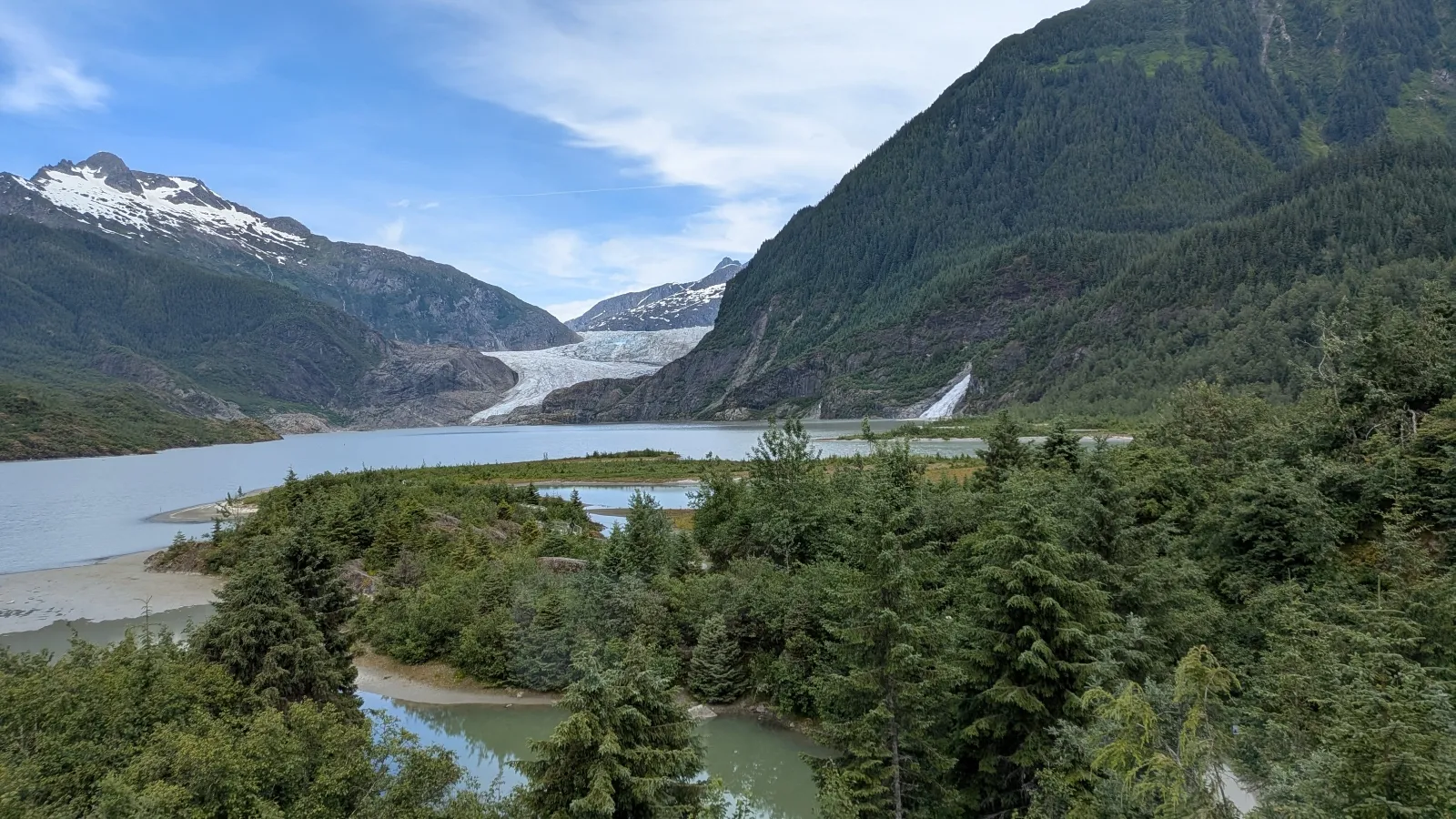
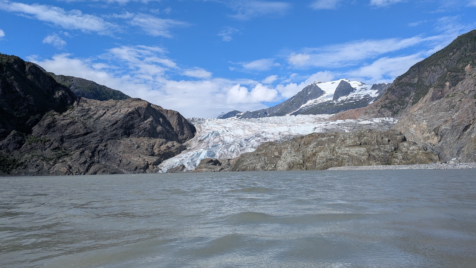
The mechanism behind the disaster is as fascinating as it is terrifying. During the warmer months, the Mendenhall Glacier frames the valley with its massive, blue-and-gray-streaked ice fields, drawing tourists from around the world. Yet, directly beside the ice mass, Suicide Basin acts as an atmospheric and hydrological catchment.
As heavy rains and high temperatures feed the basin, water accumulates until the sheer hydrostatic pressure is capable of lifting the colossal expanse of glacial ice. This process effectively opens a temporary subterranean drain, sending an astonishing torrent rushing downstream into the Mendenhall River. During peak outburst events, the basin can rapidly discharge upwards of 15 billion gallons of water—a volume sufficient to fill approximately 22,000 Olympic-size swimming pools in a matter of hours.
When the Mendenhall Valley first experienced unexpected flooding in 2011, local scientists were initially baffled, forced to deploy helicopters just to discover that water was leaking from behind the glacier. Today, the mystery has been replaced by stark predictability, forcing thousands of residents living in the flood zone to radically adapt their lifestyles.
Grassroots Innovation Meets Municipal Adaptation
Faced with the grim reality of recurring natural disasters, Juneau has transformed into a living laboratory for community-level climate resilience. The city has had to reckon with a profound modern question: How do you prepare a community for a natural disaster when you know with absolute certainty that it will return year after year?
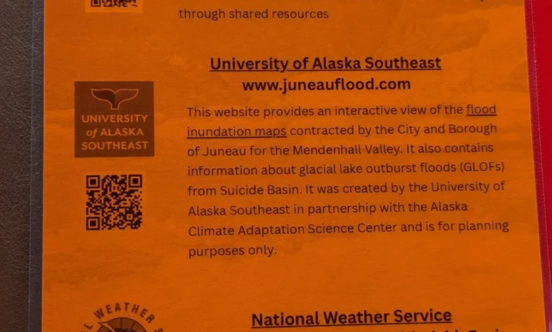
The municipal government, in close coordination with researchers from the University of Alaska Southeast and the Alaska Climate Adaptation Science Center, has pioneered an innovative technological countermeasure. In 2025, they launched a specialized online flood dashboard designed to translate complex hydrological and glaciological data into actionable, real-time intelligence for the public.
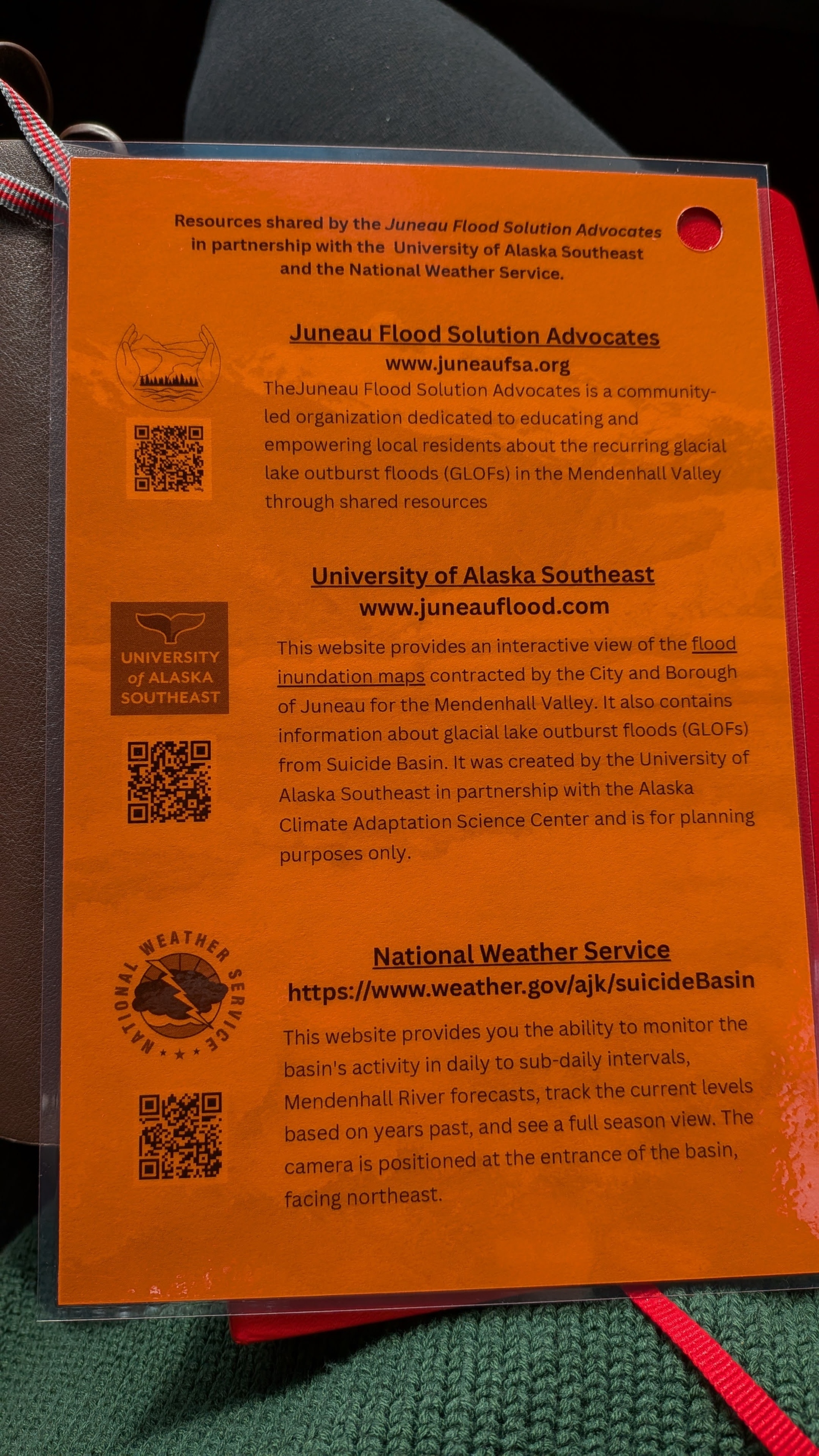
The dashboard provides precise flood maps, continuous water-level updates, and interactive models that explain the scientific mechanisms of Suicide Basin. During the previous flood season, more than 15,000 users accessed the platform. To ensure high accessibility across demographics, community members took initiative by distributing physical flyers and refrigerator magnets embedded with quick-response (QR) codes leading directly to the online portal.
For residents like Mark Miller, a 75-year-old homeowner who suffered extensive damage when 16 inches of glacial slush and mud devastated his garage, the dashboard has become an indispensable daily tool.
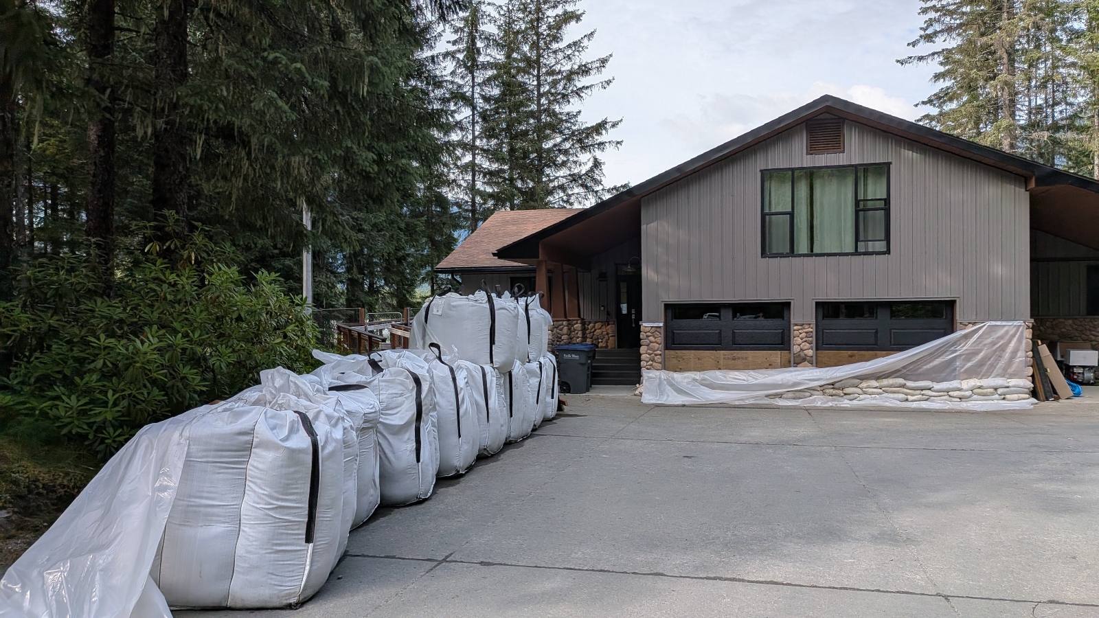
“It can accurately predict the height of floods within hours, which is pretty amazing,” Miller noted. While he still engages in manual mitigation—placing heavy sandbags on both sides of his exterior doors to counteract the immense pressure of the rising water—the digital forecast provides the critical mental buffer needed to prepare or evacuate.
Engineering Defenses Along the Mendenhall River
Beyond public information campaigns, the city’s civic infrastructure has undergone a drastic transformation. Nate Rumsey, deputy director of engineering and public works for the city of Juneau, acknowledged the existential gravity of the crisis during a recent inspection of the riverbanks.
“Another severe flood could put the viability of our community at risk,” Rumsey warned.
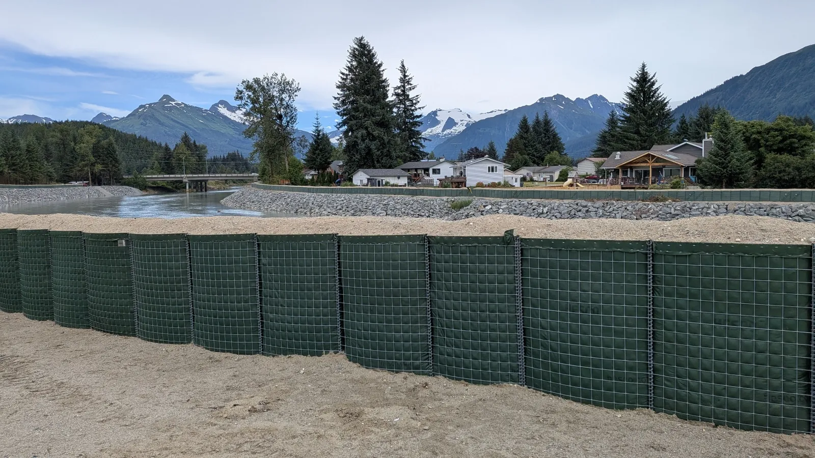
In response to the escalating threat, the municipal government partnered extensively with the U.S. Army Corps of Engineers to map and install approximately six miles of temporary and semi-permanent flood barriers along the Mendenhall River. Known widely as Hesco barriers, these defensive structures snake through neighborhoods, passing behind local schools and public libraries, and sometimes standing within mere inches of private residential windows.
Constructed from fabric-lined, wire-mesh baskets filled tightly with sand and gravel, the modular barriers connect seamlessly like building blocks and are stacked two to four tiers high. Rumsey noted that the public flood dashboard played an instrumental role in easing community anxieties, allowing homeowners to observe the construction of defensive walls while simultaneously tracking how high water levels would have risen on their specific properties without municipal intervention.
Despite these engineering interventions, the economic and social toll remains heavy. "For Sale" signs consistently dot the Mendenhall Valley, creating a sluggish buyer’s market entirely confined to the designated flood zone. Residents have had to resort to striking individual adaptations: some have excavated protective moats around their foundations, while others have jacked their entire homes several feet higher into the air.
Living on the Front Lines of Climate Change
For many residents, the annual cycle of flooding has fundamentally altered their relationship with the natural landscape. Alyssa Fischer, a 33-year-old single mother, previously paid little mind to the imposing glacier towering over her neighborhood until a terrifying night at 2:00 a.m. when she woke to find her residential street transformed into a raging river.
As icy water surged into her garage and tore away her front porch, Fischer acted decisively. She carried her eight-year-old daughter and four-year-old son through knee-deep, freezing currents while shouting to awaken neighbors. Amid the chaos, she managed to hoist her pet duck, quail, and goose into the truck bed of her pickup truck as water levels quickly surpassed the vehicle’s wheels.
Today, Fischer—like many of her neighbors—speaks fluently in the technical vernacular of hydrologists, tracking rainfall amounts, cubic feet per second, and basin capacity. During the height of flood season, she monitors the city’s digital dashboard on an hourly basis, keeping a battery-powered radio and emergency flashlights close at hand.

“Before it impacted my life, it was like, ‘Oh, that’s interesting,’” Fischer reflected. “Now, I want to know what’s happening. It’s your life, it’s your money and your investment, and you need to understand what is actually happening in the world around you and how it’s going to affect you.”
Broader Implications for a Vulnerable World
The proactive strategies being forged in the shadow of the Mendenhall Glacier are capturing the attention of emergency management experts far beyond the borders of Alaska. Environmental scientists who developed Juneau’s predictive tools argue that the model is entirely scalable and holds profound implications for communities grappling with climate-intensified disasters worldwide.
Eran Hood, an environmental scientist who helped architect the Juneau flood dashboard, emphasizes that the core philosophy of the project centers on democratic empowerment through transparent data.
“You can do the same thing with hurricanes and storm surges,” Hood stated. “You could do the same thing with floods on rivers like the Mississippi. The goal is to find the best way to provide people with information that gives them the power to make decisions. That, to me, is the biggest lesson from this.”
As global climate change continues to destabilize historical weather patterns, cities across the globe are increasingly forced to transition from reactive disaster relief to proactive, data-driven adaptation. In Juneau, where the ice above continues to melt and the basins continue to fill, the community’s survival relies not on stopping the forces of nature, but on mastering the art of listening to them before the waters arrive.