Beyond the Macro View: How Local Realities and Counter-Intuitive Shifts are Redefining Modern Glaciology

For professional geographers and cryospheric scientists, traversing the globe is an occupational necessity. Expeditions span continents and oceans within days, bringing researchers face-to-face with the shifting landscapes of the cryosphere. From Uganda’s Stanley Glacier, where ice retreat intersects with human health outcomes and malaria vector expansion, to Iceland’s Breiðamerkurjökull, where climatic shifts strain the infrastructure of global tourism, and South Georgia’s Heaney Glacier, where receding ice provides expanding real estate for massive King penguin colonies, the planet’s frozen bodies tell distinct stories.
Traditionally, the scientific community and the public view glaciers through a macro-scale lens, often observing them from a global vantage point. Worldwide inventories tally approximately 275,000 individual glaciers, routinely aggregating them to measure volumetric loss, contributions to sea-level rise, and projected extinction timelines. However, this high-altitude perspective frequently obscures the complex, localized realities occurring at the ground level. Glaciers do not share a uniform life history; each is shaped by—and actively shapes—the unique regional communities, topographies, and hydrological systems that surround it. Rather than a singular global narrative of retreat, contemporary glaciology reveals hundreds of thousands of individual stories of transformation, some of which defy conventional scientific expectations.
The Anomaly of the Pacific Northwest: Crater Glacier’s Surprising Growth
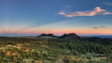
Nowhere is this localized complexity more apparent than in the Cascade Range of the United States. Following the catastrophic nine-hour Plinian eruption of Mount St. Helens in May 1980—an event that obliterated 70 percent of the volcano’s ice mass, including the historical Loowit and Leschi glaciers, and left a massive horseshoe-shaped crater—conditions unexpectedly converged to foster new ice formation.
Winter after winter, heavy snowfall accumulated on the volcano’s steep headwalls, repeatedly avalanching onto the newly formed crater floor. By September 1996, scientific observations confirmed that this 16-year-old accumulation of snow and ice had begun to flow. In glaciology, this milestone is existential: a glacier is definitively classified as a moving body of land ice that persists year after year. When flow ceases, a glacier is scientifically categorized as dead—a fate that befell Iceland’s Okjökull glacier, which officially ceased movement in 2014 and was commemorated with a formal funeral in 2019.
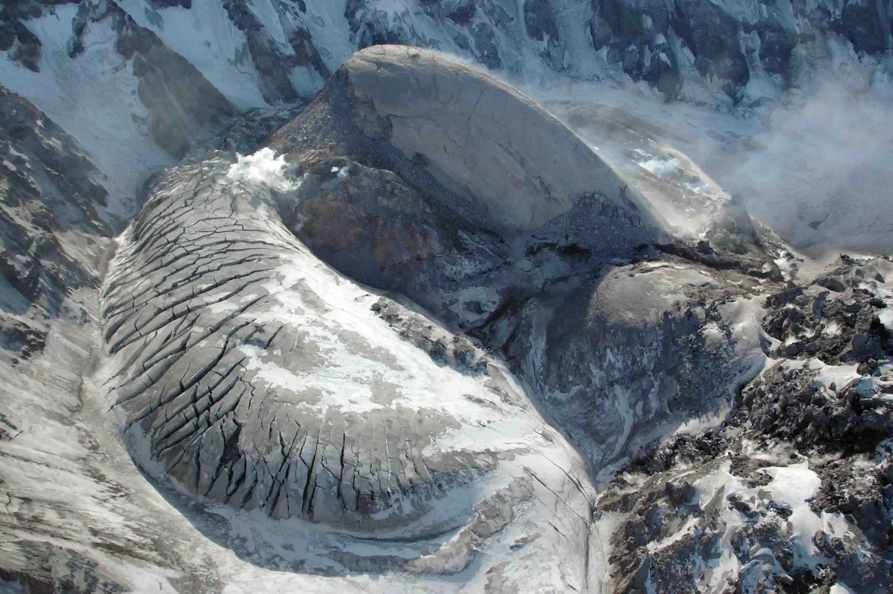
In contrast, Mount St. Helens birthed Crater Glacier. The system’s resilience was tested further in 2004 when renewed magmatic activity pushed a lava dome upward through the crater floor, physically bisecting the glacier for the first time ever recorded in scientific literature. Despite this disruption, the separated arms of the glacier deformed, thickened, and accelerated to flow rates between 30 and 60 centimeters per day. Within four years, the ice circumumnavigated the active lava dome and reconnected. Between 2009 and 2019, Crater Glacier expanded by approximately 13.8 million cubic meters, advancing more than 1,000 feet.
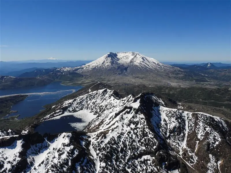
While climatologists note that long-term regional warming trends or future volcanic eruptions could eventually overwhelm this microclimate, the presence of an advancing glacier in a globally retreating climate underscores the power of local topography and avalanching dynamics. Furthermore, the proximity of the ice to an active volcanic vent introduces persistent hazards, specifically the potential formation of lahars—rapid, destructive mudflows composed of melted ice, ash, and rock that pose significant risks to downstream infrastructure.
Shifting Hydrology in the Caucasus: Azerbaijan’s Fading Ice and Peak Water
Half a world away, in the Eastern Caucasus of Azerbaijan, a starkly different trajectory is unfolding. Between 2000 and 2020, Azerbaijan experienced an estimated 77 percent reduction in total glacier area. By 2025, only 14 fragmented glaciers remained, covering a mere 124 acres—approximately one-tenth of the ice coverage documented in the 1890s.
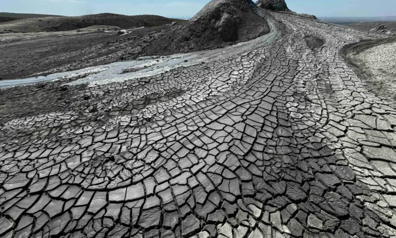
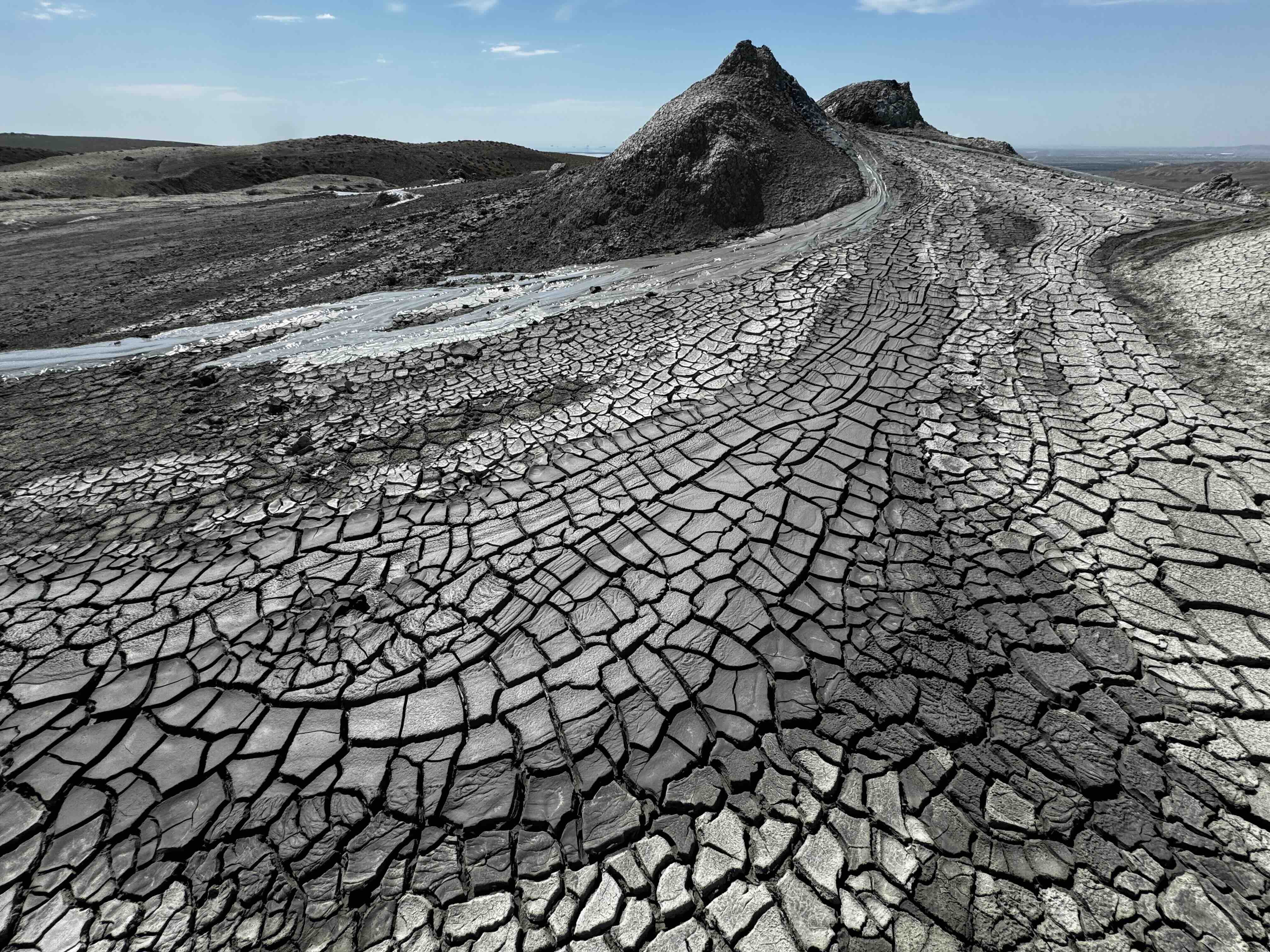
Despite this dramatic reduction, public discourse regarding glaciers in Azerbaijan remains muted, overshadowed by economic priorities, urban development, and tourism attractions such as the mud volcanoes of Gobustan. Yet, these dwindling ice masses play a vital role in regional hydrology. Glaciers function as natural, self-sustaining reservoirs that regulate water supplies over decades and centuries.
Recent field research on Azerbaijan’s Tufandag Glacier indicates accelerated retreat, expanding crevasses, and increased discharge rates in the downstream Mahmuddara River. In the short term, this accelerated melting acts as an economic boon for agricultural sectors heavily reliant on irrigation for wheat, fruit, and vegetable production. As glaciers melt, they release stored moisture downstream, boosting water availability.
However, glaciologists warn of a critical threshold known as "peak water"—the temporal point at which a retreating glacier yields its maximum possible meltwater discharge before entering a phase of permanent volumetric decline. Once this threshold is crossed, runoff steadily decreases, threatening long-term agricultural stability. Consequently, the rapid disappearance of Azerbaijan’s glaciers necessitates forward-looking water resource management, requiring local communities to engineer artificial storage systems to replace the natural hydrological buffering capacity lost with the ice.
Japan’s Recent Discoveries: Identifying and Losing Alpine Glaciers
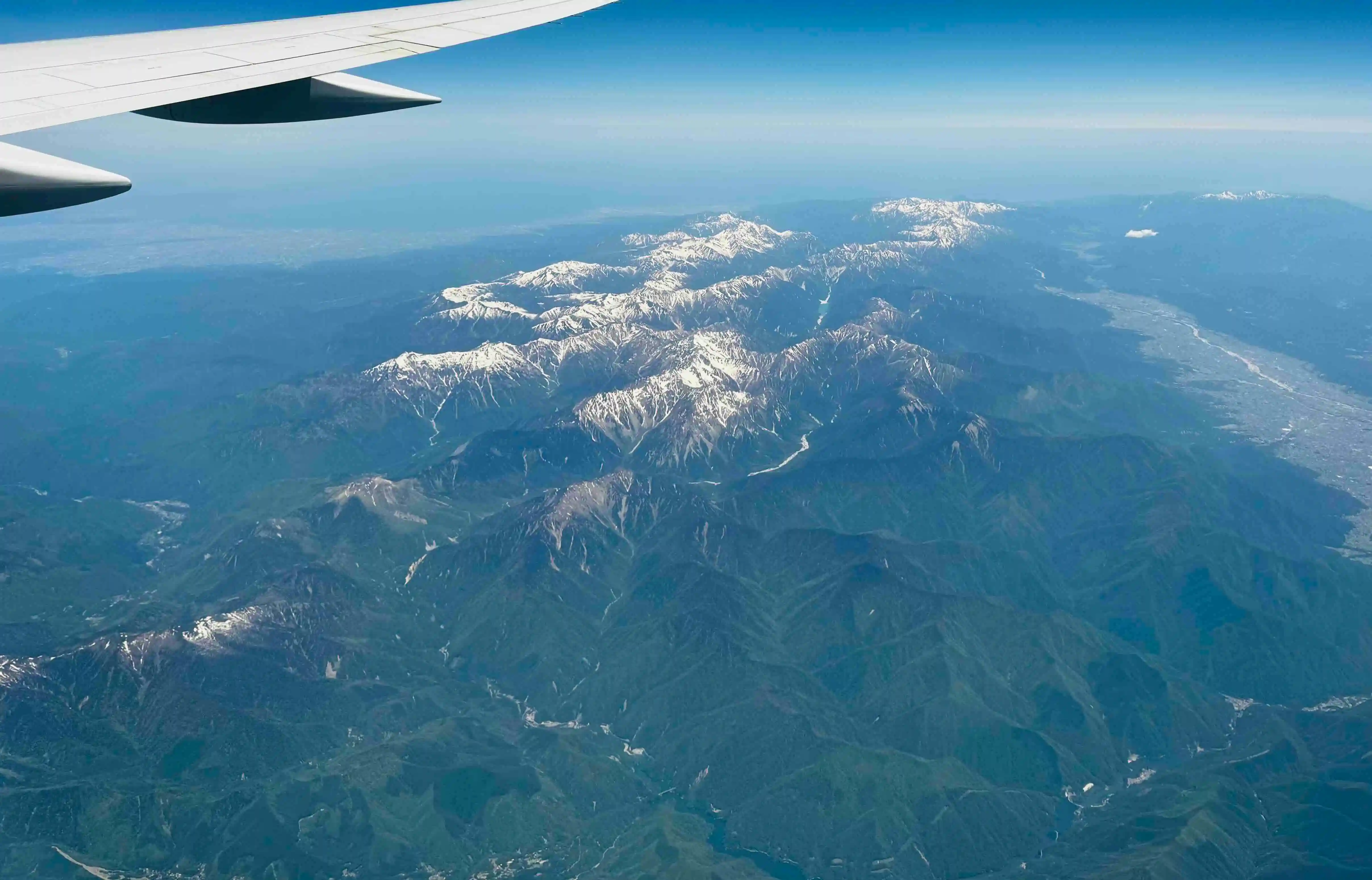
In East Asia, the intersection of heavy snowfall and precise glaciological criteria has rewritten regional ice inventories. Japan’s Sea-of-Japan coast is renowned for receiving some of the heaviest seasonal snowfall on Earth, yet historical scientific consensus held that no active glaciers existed east of Russia’s Kamchatka Peninsula due to regional temperature profiles and low mountain elevations.
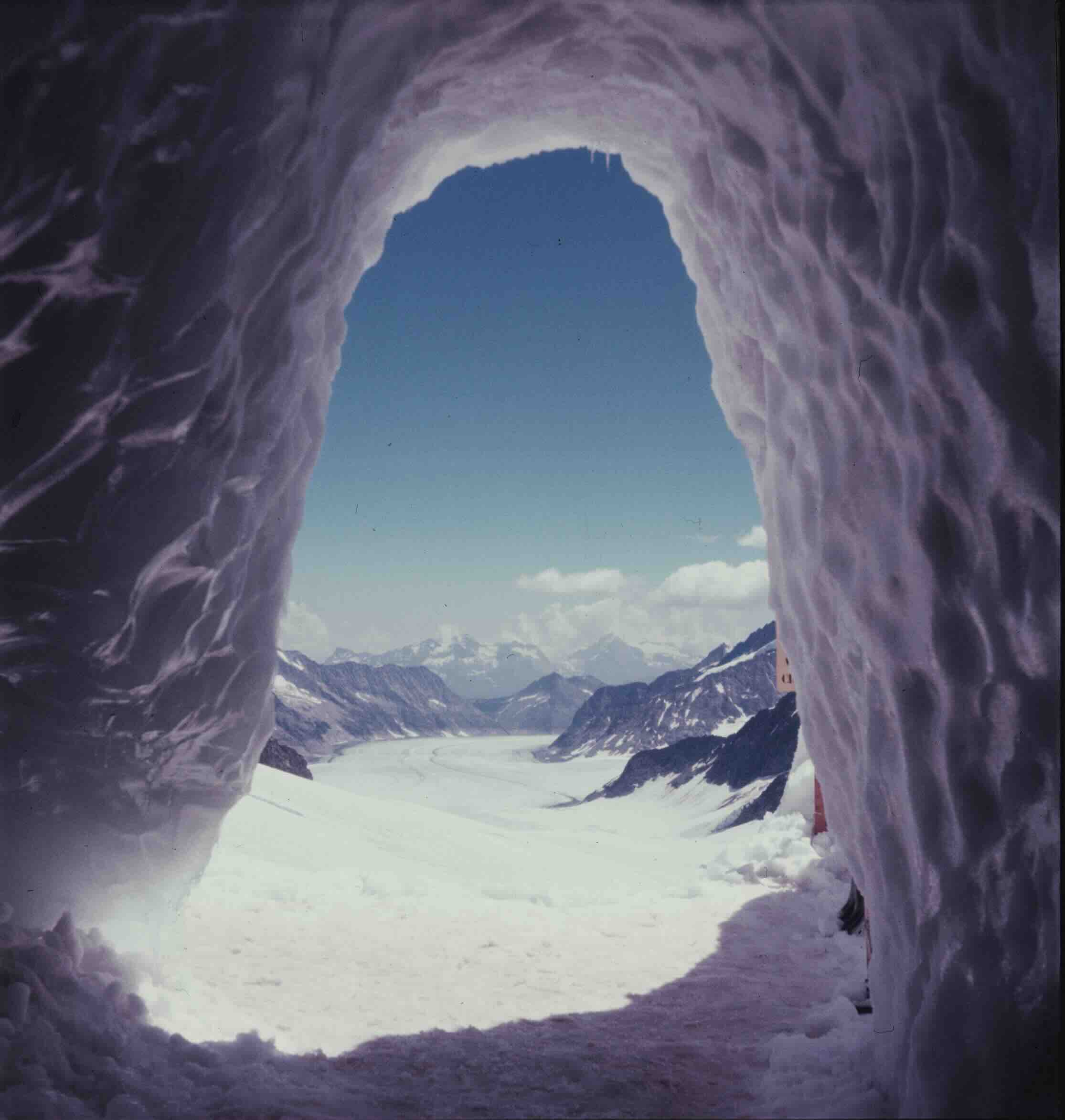
Historically, features such as the Kuranosuke snow patch in the northern Japanese Alps were classified merely as perennial snow patches. Unlike glaciers, static snow patches do not possess sufficient mass to deform and flow under their own weight. However, exploratory investigations in the 1970s revealed internal moulins—vertical drainage shafts typical of glacial systems—containing ancient ice layers radiocarbon-dated to approximately 1,700 years old.
It was not until comprehensive geodetic measurements and ground-penetrating radar surveys were conducted between 2009 and subsequent years by researchers Kotaro Fukui, Hajime Iida, and colleagues that the scientific community confirmed several perennial snow patches—specifically Gozenzawa, Sannomado, Komado, and eventually Kuranosuke—were actively flowing at rates of a few centimeters per year. This documented movement officially reclassified these features as active glaciers, adding them to global inventories long after scientists assumed all regional glaciers had vanished.
Yet, mirroring global trends, these newly minted Japanese glaciers are already experiencing accelerated mass loss due to rising temperatures. Researchers indicate that Kuranosuke is transitioning back into a nebulous intermediary state between a glacier and a persistent snow patch. While this represents a rapid loss of cryospheric heritage, these discoveries highlight the limitations of global mapping models and emphasize the profound influence of microclimatic factors, such as wind-driven snow accumulation and deep valley shading, in sustaining ice bodies against the broader backdrop of anthropogenic climate change.
Implications for Global Cryospheric Science
The contrasting trajectories of Crater Glacier in the United States, Tufandag Glacier in Azerbaijan, and Kuranosuke Glacier in Japan illustrate the necessity of shifting from generalized macro-level assumptions to granular, localized field research. While the overwhelming global trend remains marked by accelerated mass loss and sea-level rise, micro-environments continue to generate unexpected anomalies—from advancing volcanic ice masses to newly discovered alpine glaciers.
As these systems evolve, the implications extend beyond academic classification. They directly impact regional water security, downstream hazard management, and the cultural heritage of communities tied to alpine landscapes. Documenting the distinct life history of each individual glacier provides essential baseline data for policymakers, hydrologists, and scientists tasked with anticipating the socioeconomic and environmental consequences of a transforming cryosphere.